
Nature
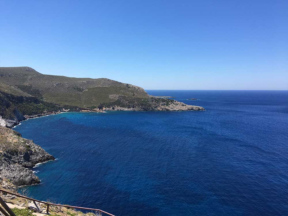
Kythira is a uniquely beautiful island at the crossroads of three seas: Ionian, Myrtoon, Aegean. It is the seventeenth biggest island of Greece and belongs geographically to the Ionian Islands and administratively to Piraeus Prefecture.
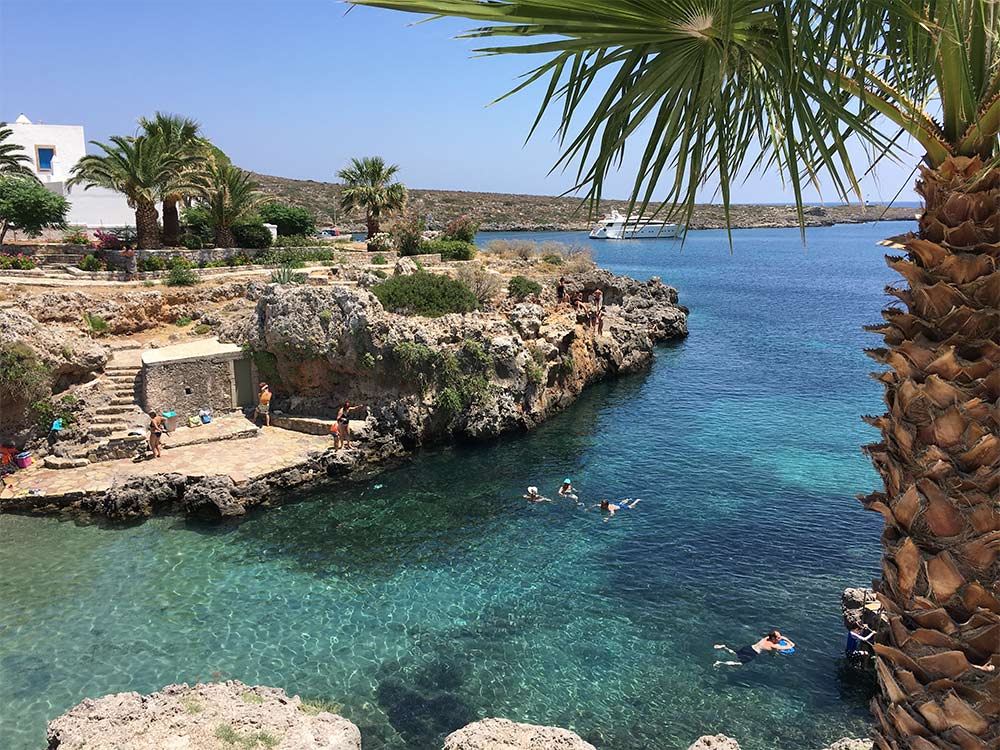
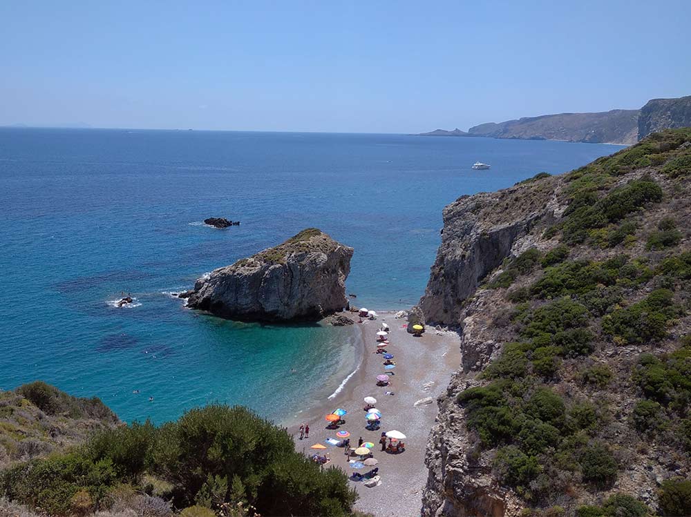
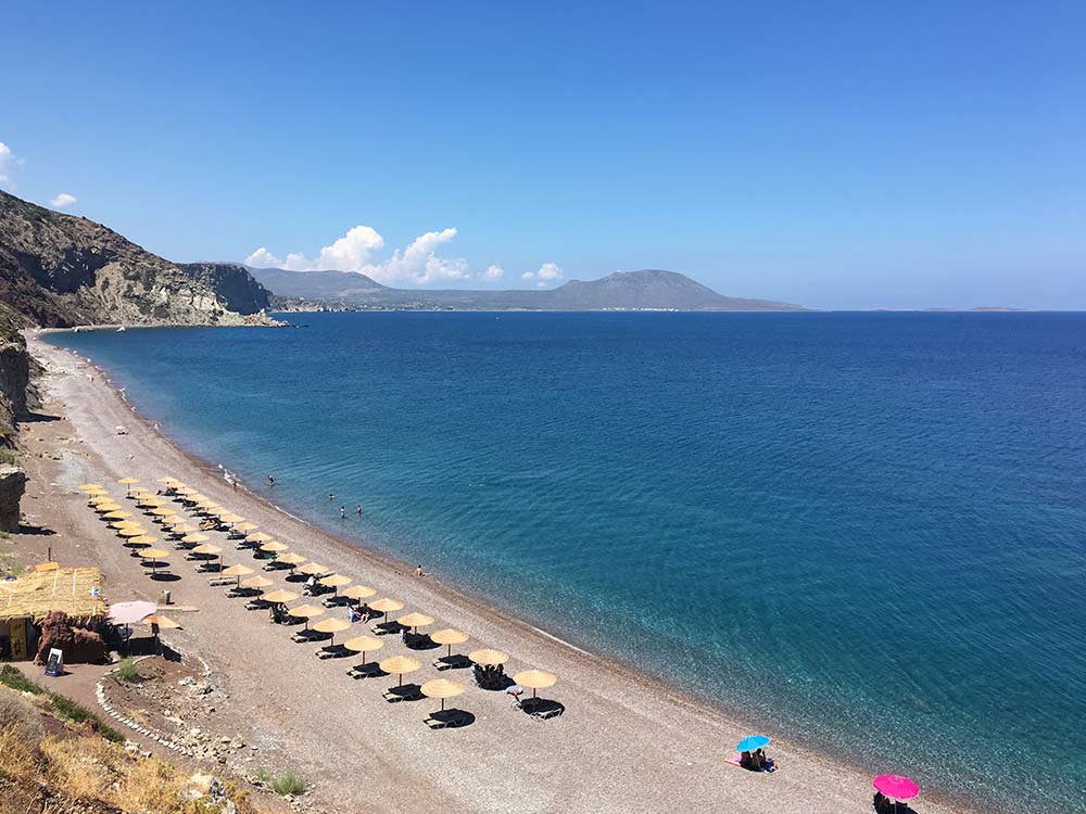
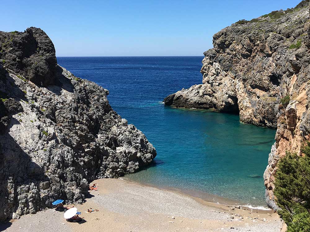
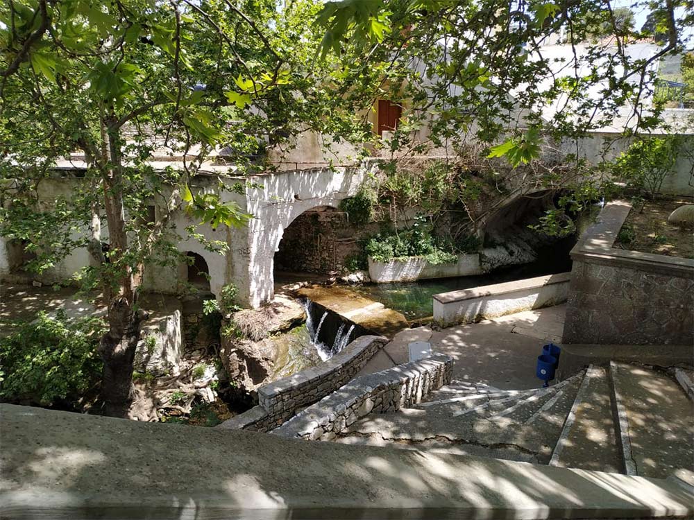
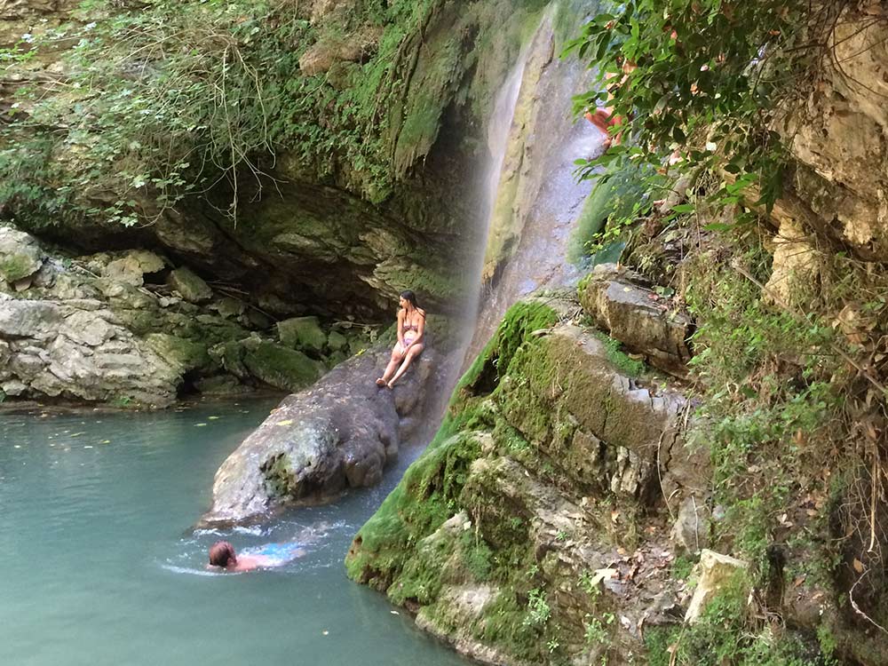
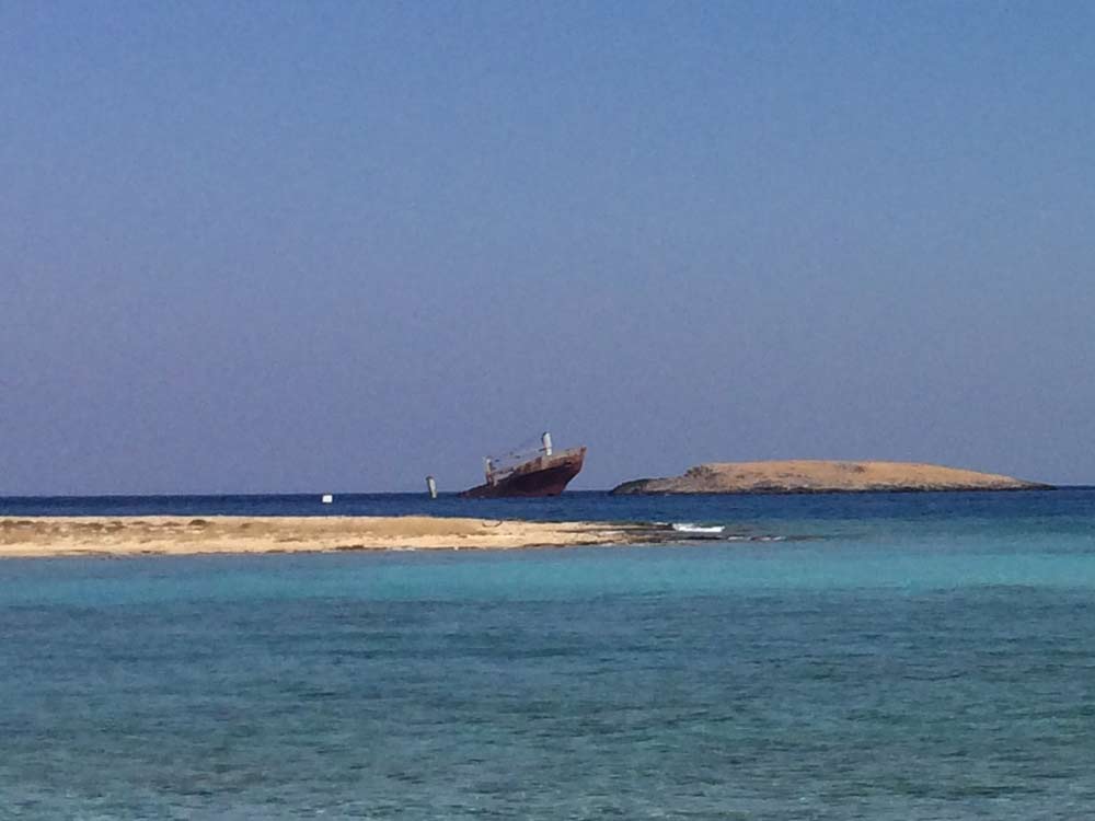
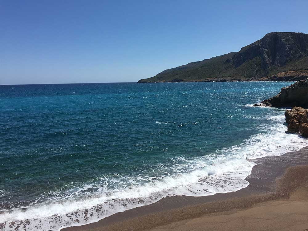
It has a surface of 280 sq.km. and the coastline extents to 52 km. Also known as Cerigo, Kythira can be an endless surprise to the traveller: Crystal clear seas, long or isolated beaches, paths, caves, gorges, falls, stalactites, rare birds and flowers and impressive alternations of landscape and climate.
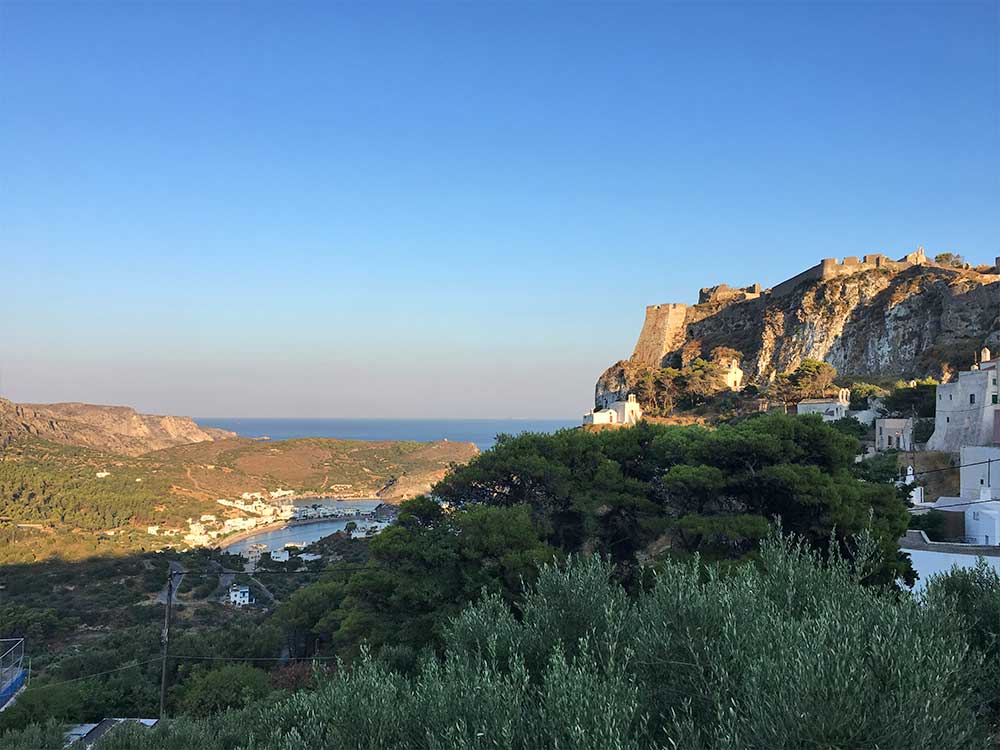
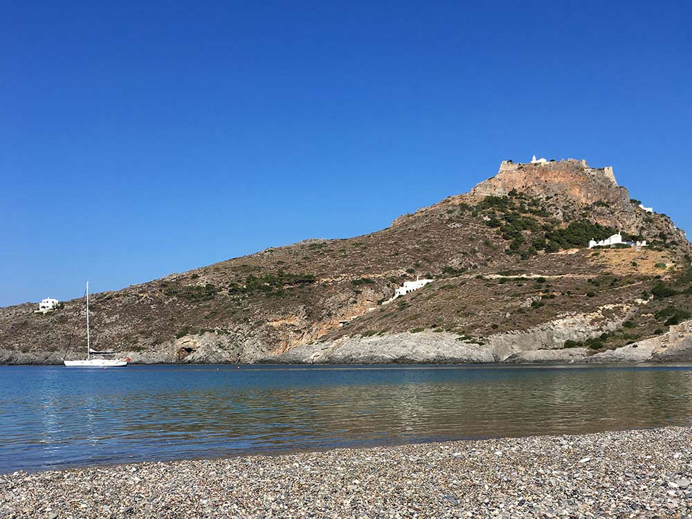
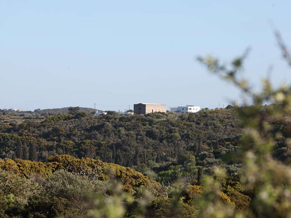
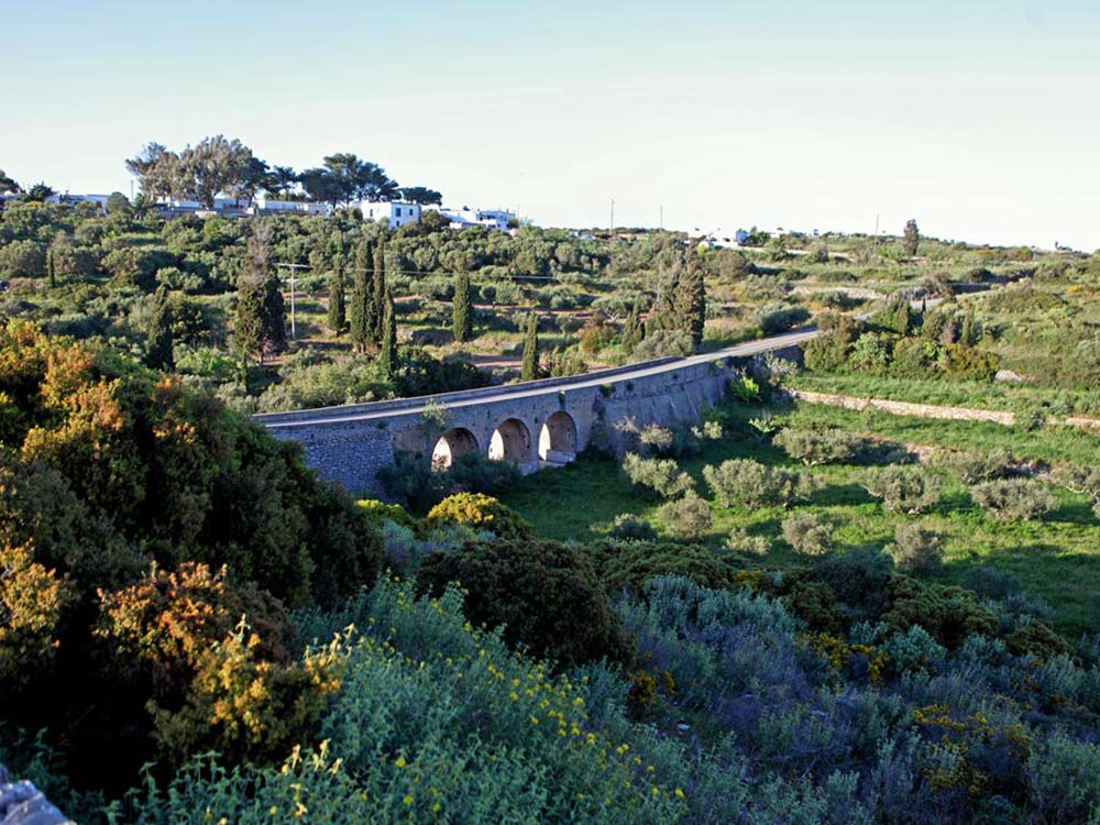
Man-made remnants scattered in 62 small and large communities witness the passage of conquerors and civilizations: castles, walls, bridges, monasteries, temples.
Seas, Winds and Destinations
Weather is not a topic of deep discussion as it is in England, for example. People here don’t resort to weather small talk because they have nothing else to talk about. The weather in Kythera is an important issue which has a wide ranging impact. The size of the island, the topography and the geographical location all add up to the unpredictable condition known as Kytherian weather!
Whether traveller or visitor, don’t be discouraged if you see loads of clouds in the sky and think your walk or swim is out of the question. A few kilometers further along the coast, or even a couple of hours later, the picture could be surprisingly and dramatically reversed. It might rain in Frilingianika, yet the sun will still shine beautifully in Karvounades. Is the wind blowing a gale in Livadi and you’re worried your boat will never leave the port? Rest assured, Diakofti enjoys winds of a couple of less Beaufort allowing all boats to come and go with ease. So, if you don’t like the weather in Kythera, just wait for a while. It will change.
More imaginative than most, Kytherians have invented their own dialect when it comes to winds and weather forecasting. Clouds appearing in the west side of the horizon following a rain- fall? This is katsifara. A similar term defining the same situation with humidity is called proventza! If the winds are coming from the direction of Gythion, that is maistrotramountana. A dry southern west breeze? Then pounentogarmpi is on the run – or veneri for many areas because they face it from the village of Drymonas. Driving through the clouds is not an expression. When you’re in the higher altitudes, in fact it is a rather common phenomenon. When you find yourself “driving through the clouds” and you get that romantic and unreal feeling, please remember to turn on your headlights because the driver from the opposite direction might get carried away as well.
When rain subsides and the sun emerges shining brightly, look for a rainbow. Quite often you can catch a double one, an astonishing sight and a perfect photo opportunity – perhaps even for a selfie?!
The names of the winds follow general terminology of the winds in other Greek areas: North – Tramoundana, Northeast – Gregos, East – Levante, Southeast – Sirocco, South – Ostria, Southwest – Garbis, West – Ponente, Northwest – Maistros.
Kytherian people are very punctual. If the wind blows in an in- between direction, they become even more precise (though not necessarily succinct!). Hence, you get to hear terms like gregotramoundana or gregolevante, or levantoscirocco or ostriogarbi, or pounentogarbi, maistrotramoundana or maistroponente.
Meltemi are strong northerly winds that reach a peak during the day and subside late afternoon. While they usually appear in August, the last few years they have hit the island mid July. But don’t worry about missing your swim – Chalkos beach, Kapsali, Sparaggario, Vroulea and Melidoni in the south area will embrace you wholeheartedly.
If an easterly is blowing, try to avoid the beautiful beaches of Fyrri Ammos in Kalamos, Avlaimonas, Palaiopoli, Kaladi, Combonada. Head instead for the equally stunning Lycodemos, Limnionas and Melidoni beaches.
Sailing is a pastime for the brave and the patient. Unpredictable weather is the rule. While you may have smooth sailing, it’s also common to find yourself in rugged conditions. A popular sport for the daring!
Kythera has always been a popular place for travellers. After all, it is a crossroad – a crossroad of seas, of winds, of paths and of destinations.
Access
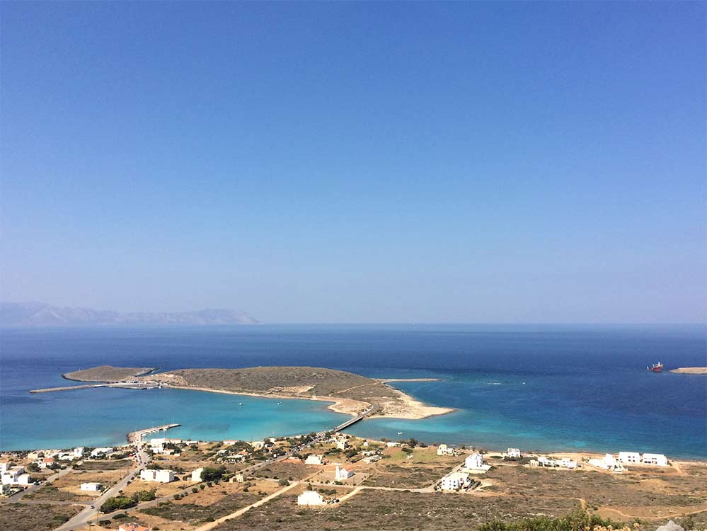
Kythira is at the southern tip of the laconian peninsula, across Neapoli approx. 11 nautical miles away. It is 120 nautical miles from the port of Piraeus.
Daily connection with Neapoli (Port Authorities 2734022228)
Seaway to and from Piraeus, Gythion, Kalamata, Crete.
Itinerary and further information from
www.kythera.gr
https://visitkythera.com/el/pos-tha-elthete/
Airline connection to and from Athens, Salonica, Crete, Holland and Switzerland
Kythira airport can provide transportation by taxi or rented cars.